Breaking News
Sunny Today-Breezy and Cold
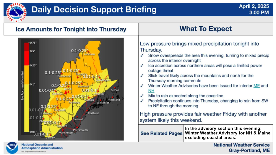
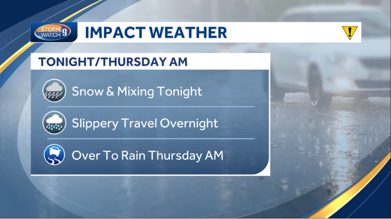
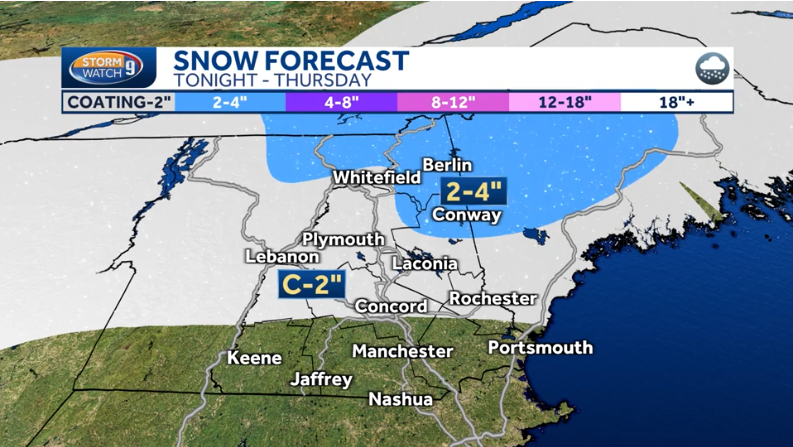
Increasing Clouds tonight - Snow likely
Active Advisories and/or warnings
None
If the alert below is flashing, then the warnings/advisories above are active. Use those links to go to that hazard page.

Last Complete Site Update: 3/18 - 6:17 PM
Weather for New England and the Northeast
Updated Twice per day
Delivering Weather Forecasts for New England for the last 25 years
It was one of those March days when the sun shines hot and the wind blows cold:
when it is summer in the light, and winter in the shade.
- Charles Dickens, Great Expectations
Now in Peterborough, NH
Time of the readings below: 14 Jan 2025 6:15 PM
Current Weather Readings
(FYI: The number in parenthesis below is the change in the last hour)
Your Daily Forecast - Three Days at a Time
Monday/Monday Night
Nashua - East


Peterborough - Central/West


Tuesday/Tuesday Night
Nashua - East


Peterborough - Central/West


Wednesday/Wednesday Night
Nashua - East


Peterborough - Central/West


Thursday/Thursday Night
Nashua - East


Peterborough - Central/West


Friday/Friday Night
Nashua - East


Peterborough - Central/West


Saturday/Saturday Night
Nashua - East


Peterborough - Central/West


Sunday/Sunday Night
Nashua - East


Peterborough Central/West


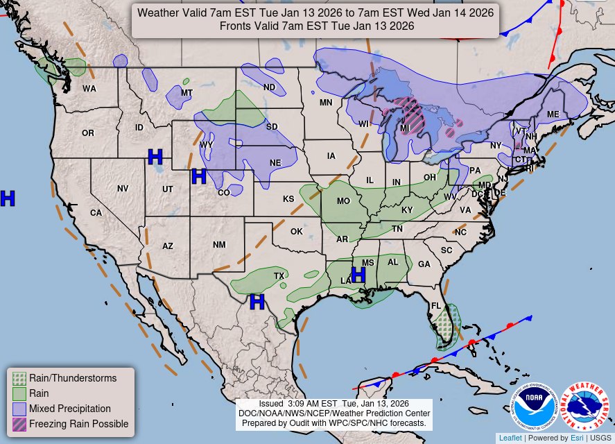
Maps for Today
Rich`s Weather Discussion
Skies were clear early this morning under the full Wolf Moon. Temps ranged from the upper teens to low 20s.
The wind chill atop Mount Washington at this hour is -42 Degrees.
Gusty winds and mostly sunny skies are expected today, colder than Tuesday.
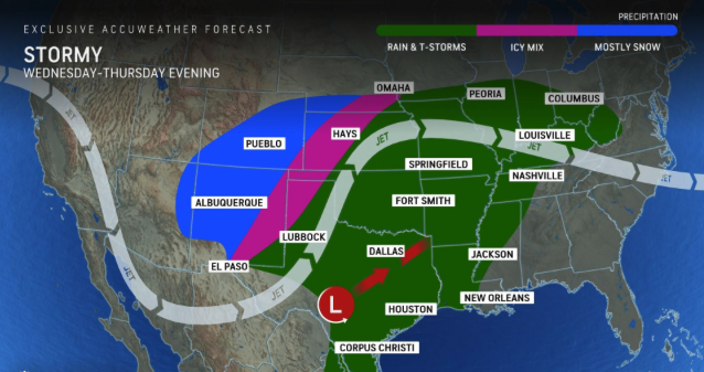
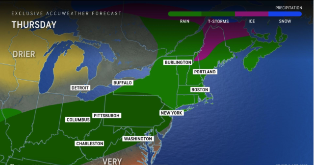
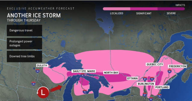
Watching the evolution of stormy weather towards the beginning of the upcoming weekend.
In the long range: What may be the coldest air of the winter is expected next week, and there may be some snow with that Arctic front.
Stay tuned.
Forecaster's Discussion NH/ME(Edited)
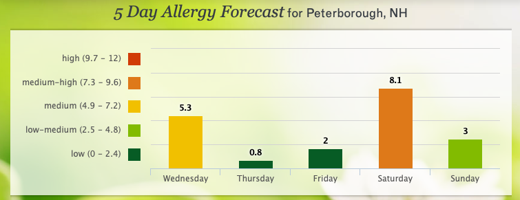
Five Day Daily Temperature Run - Peterborough, NH
(Tip: Place your cursor over the bar to see the number)
Current Weather Maps
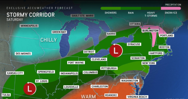
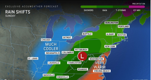
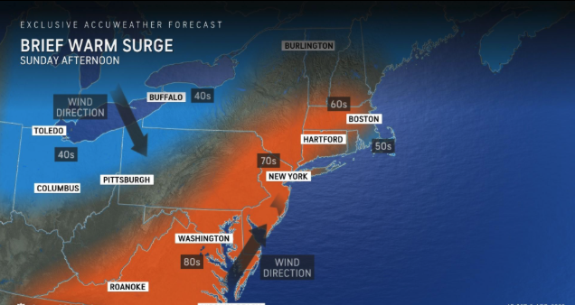
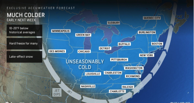
Expected Temperatures in New England
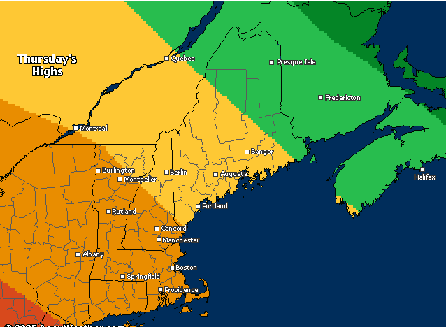

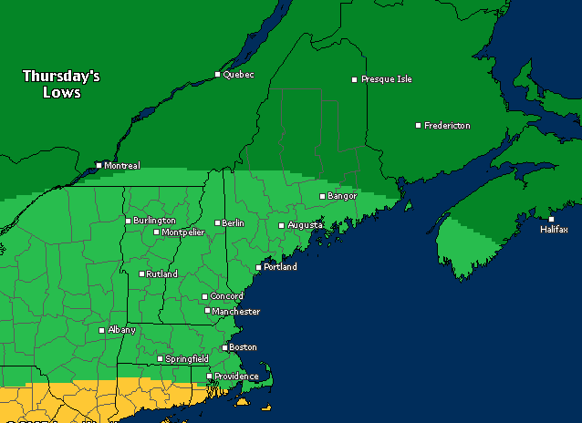

Weather News/Headlines of Interest

Blank
Blank
RichLefko.Com Sponsors
Please patronize those running ads below - They are the lifeblood of RichLefko.com
Click on the company logo to go directly to their site.
Freedom Cad
Freedom Cad offers PCB Design Services, Enginerring Services, and other value added services. They are headquartered in Nashua NH.
Freedom Cad Offers: PCB Design Services, Engineering Services, and Value Added Services.
Download their free eBook, The Printed Designer`s Guide to Executing Complex PCBs.
Download Now
Patton Energy - Keene NH
Discover the Patten Energy Difference
At Patten Energy, our philosophy is simple. We believe that bigger is not always better! We are neighbors serving neighbors - where you will always be referred to by name, never as just another account number. We are dedicated to maintaining the personal touch and quality care only a family run business can provide.
I use Patten Energy, and I heartily endorse them.
Hazardous Weather Outlooks:
Hazardous Weather Outlooks are active at this time.
Click the button below to see them.
This box will close in 15 seconds.
Click the “X” above to dismiss this box if you do not want to wait.
Sign up for my every Thursday Evening “Weekend Outlook” Newsletter
📜 Scroll to the bottom of this page or hit the button below
You will get only one e-mail each week fro me. Subscribe, quit any time. YOU manage it.
This box will close in 15 seconds, or use the close button at the top.
Subscribe to my Alerts
Subscribe to my Weather Alerts and get the Every Thursday Evening 'Weeked Outlook'
E-mail.
You manage your subscription.
Cancel whenever you want.
BTW, we do not sell, trade, give away, post, whisper, dream about, tattoo, print or share your e-mail addresses with anyone...EVER!
When you subscribe, your address goes directly to me, not some online service.
Subscribe once and get all e-mails and warnings!
Yes, you can subscribe to multiple addresses, home, office etc.
Zero cost - No ads-No tracking
Just the Weather - No Hype
Questions/Issues/Problems
/Say Hi: Contact me below
Add a RichLefko.com icon to your iPhone or iPad. It is easy. If you find yourself frequently visiting a website or using a web app on your iPhone or iPad, it is very easy to add a shortcut icon directly on your Home screen using Safari that you can quickly tap to launch the site. This is how: How to add a website tile to your iphone or iPad home screen
Proud member of the National Weather Service Skywarn Program
